 Catalogo de metadatos del IGME
Balearic islands
Type of resources
Available actions
Keywords
Contact for the resource
Provided by
Formats
Service types
-
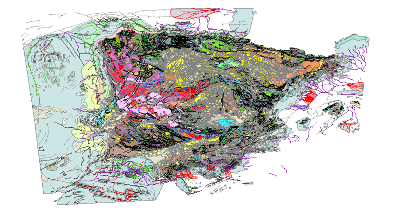
Visualisation service of the new Geological Map of Spain and Portugal at a scale of 1:1 000 000 published in 2015. This is the most updated version of the geological cartography of the Iberian Peninsula, as well as Ceuta and Melilla and the entire island territory of Spain and Portugal: Balearic Islands, Canary Islands, Azores and Madeira. This version includes for the first time the geological cartography of the continental shelf of both countries and of the Atlantic islands. This map includes all the geological knowledge provided by the MAGNA series of geological cartography at a scale of 1:50 0000 of the IGME, for the Spanish territory, and the systematic geological cartography of the Portuguese territory carried out by the LNEG. The continental part of the map is based on the previous 1:400,000 scale summaries prepared for each of the main geological units in Spain, namely the Variscan Massif, the Pyrenees, the Betic Cordillera, the Cantabrian and Iberian Cordillera and the basins of the Duero, Tagus and Ebro rivers, and the 1:200,000 scale geological mapping carried out in Portugal..